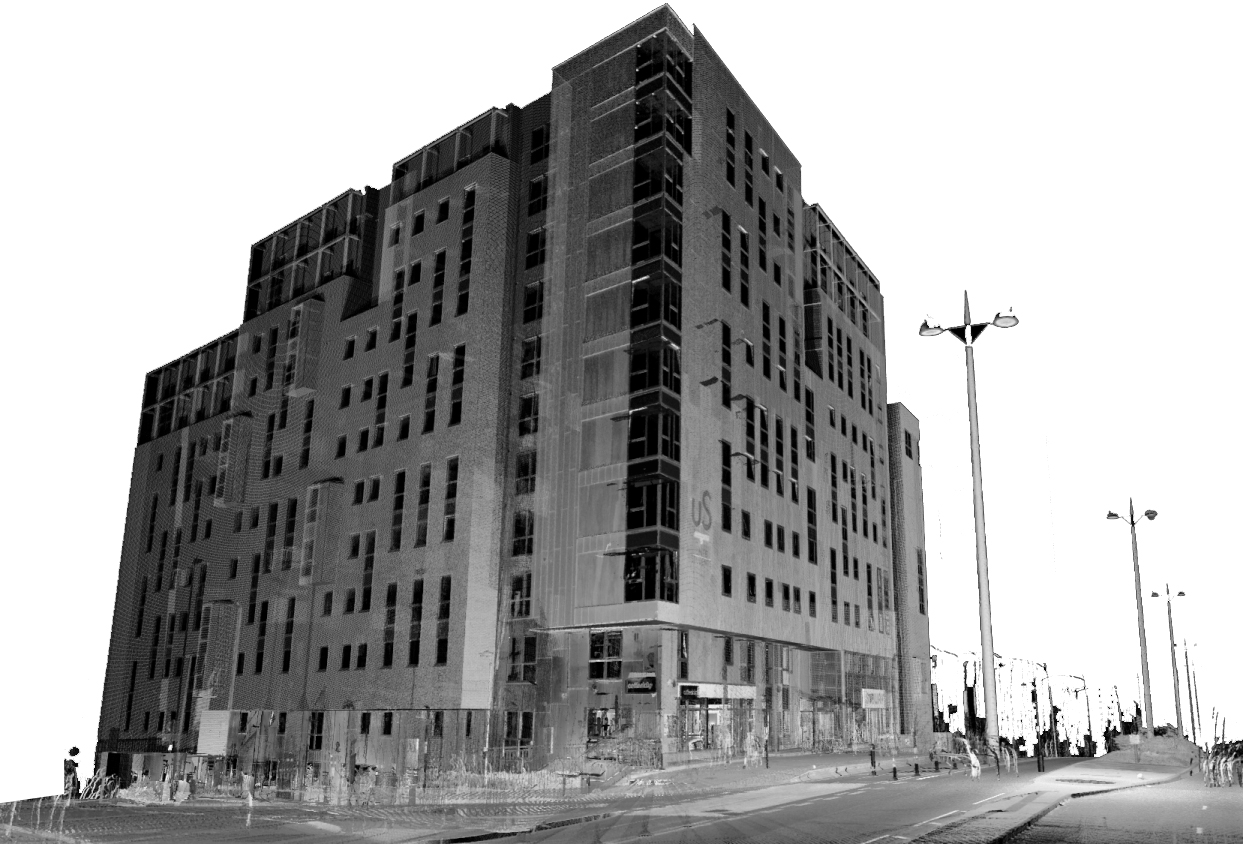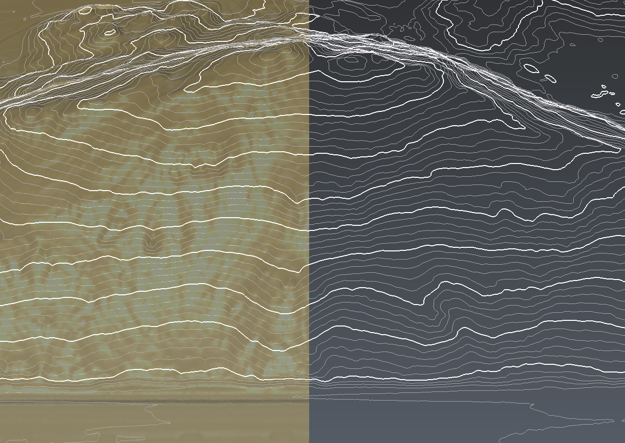

We provide specialized training and comprehensive courses in cutting-edge geomatics
technologies,equipping professionals with the skills needed to excel in the evolving field
of spatial data acquisition and analysis. Our courses cover advanced topics such as Laser
Scanning, Mobile Mapping Systems, and AerialPhotogrammetry using Drones, ensuring
participants gain hands-on experience with the latest tools and methodologies.
We offer a wide range of advanced 3D surveying and geospatial services, utilizing
state-of-the-art technology to deliver highly accurate and reliable data for engineering,
construction, and urban planning projects. Our expertise includes:
We provide comprehensive technical support and training services tailored to help your
team master the latest Geomatics technologies, including LiDAR, drone applications, and
advanced surveying techniques. Our expert support covers every aspect of technology
implementation, from initial setup and integration to advanced troubleshooting and
optimization.
Learning often happens in classrooms but it doesn’t have to. Use Eduflow to facilitate learning experiences no matter the context.
Real students, real results

Amet minim mollit non deserunt ullamco est sit aliqua dolor do amet sint. Velit officia consequat duis enim velit mollit. Exercitation veniam consequat sunt nostrud amet.

Thousands of easy‑to‑install add‑ons mean you’ll never outgrow your website. Collect leads, create contact forms, create subscriptions, automatically backup

Nulla Lorem mollit cupidatat irure. Laborum magna nulla duis ullamco cillum dolor. Voluptate exercitation incididunt aliquip deserunt reprehenderit elit laborum.